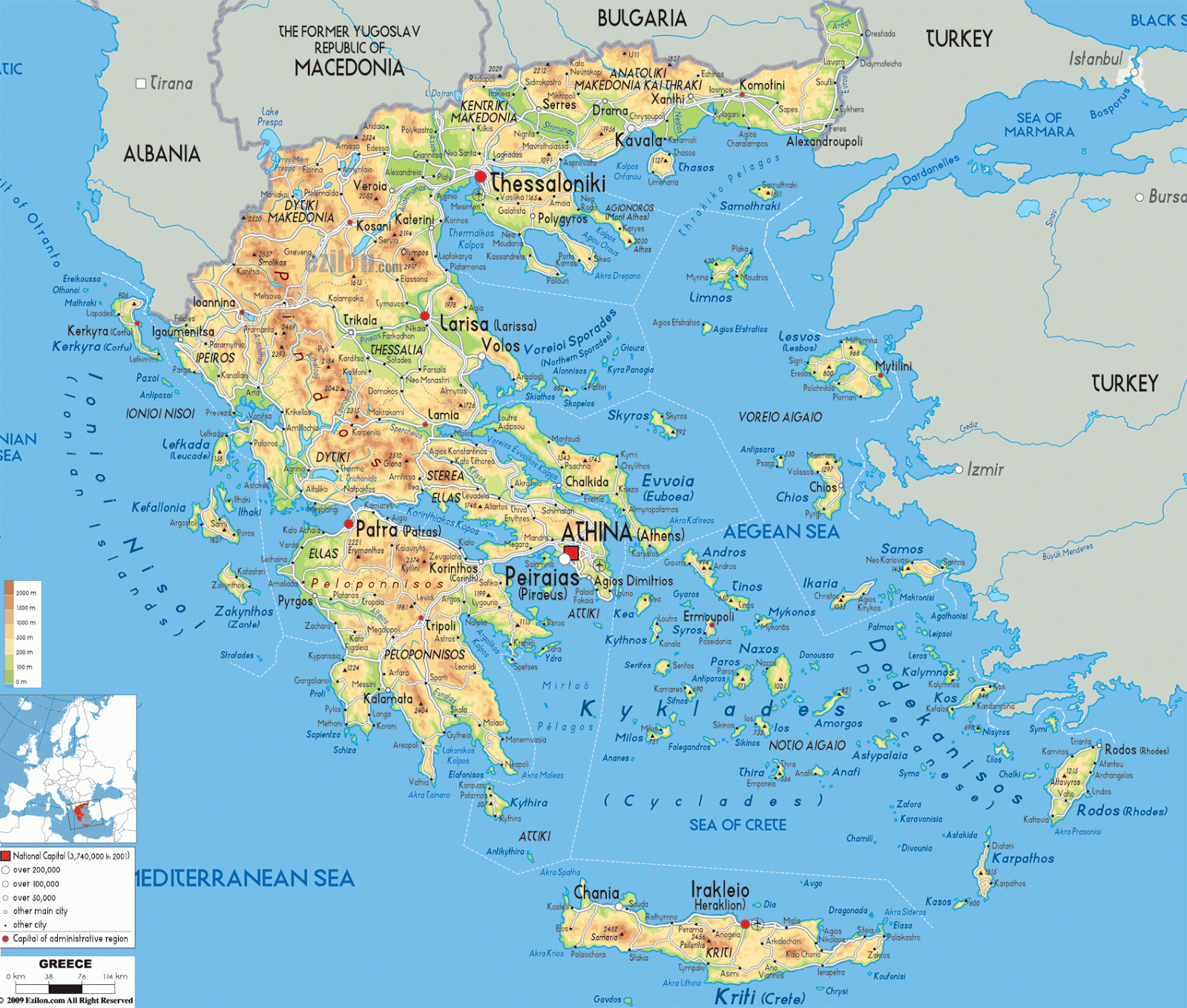
Hypsometric Map
Hypsometric Maps are the same as a Topographic Maps, but with colors and shading to help define the contour lines. The more drastic the color change the greater the change in elevation. This type of map can be used to show something other than topographical features but relief features is its primary function.
The map shown is a Hypsometric Map of Modern Day Greece. As indicated by the graphic scale, elevation ranges from 0 meters to 2000 meters; with green shading indicating lower elevations and dark red indicating the highest elevations.
http://www.ezilon.com/maps/europe/greece-physical-maps.html
No comments:
Post a Comment