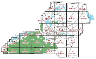
Public Land Survey System (PLSS) is a systematic, non-coordinate land partitioning system for labeling location in terms of coordinates. This system is used by the United States to show and define property lines. The PLSS system is not used in all fifty states: Most of the original thirteen colonies along with Louisiana, Texas, the majority of Florida, and some areas of New Mexico and California. These areas had already been settled for some time before the PLSS system was implemented in the West.

No comments:
Post a Comment