Isopleth
Isopleth Maps are used to show lines that cannot be measured at a specific point but rather over an area. These types of maps are not defined by a predetermined area. Isopleth Maps and Isoline Maps are fundamentally the same and the names are used interchangeably.
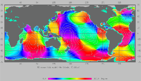
The maps shown are an Isopleth maps of ocean tidal movements. The lines connect points of equal tidal movements. The lines are enhanced by different color shading.

No comments:
Post a Comment